
The new International Lisbon Airport will be located in an extensive wide open rural area by the Tagus estuary – a protected wet land where millions of migratory birds congregate annually.
This goal of this study was to acquire detailed knowledge of every bird’s moves and flight patterns in an area comprising 700km2, throughout a whole year, to assess the potential risk of collision between birds and airplanes in the future.
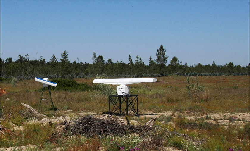
The study comprised and innovative and unprecedented mobilization of technical and human resources:
- On site implementation of a dual radar system comprised of an S-band and an X-band radar (horizontal scan of 12 km and vertical scan of 3 km): continuous data logging during 365 days, 24 hours;
- 40 days of field work to visually validate the radar signals involving: 21 birds experts, 323 hours of logs in each of the 12 field observation spots;
- Complementary field work of habitats mapping and monitoring of local non-migratory birds;
- Results included : over 4,000 valid bird movements made by 40,000 birds of about 60 different species;
- The team has determined different types of flight patterns: diurnal/nocturnal, seasonal, altitude related, in close association with the habitats or not related to their presence…
- Final results included a qualitative assessment of the risk of collisions between birds and airplanes for each season (Spring, Summer, Autumn and Winter) and a bird control program to minimize those risks, once the airport is built.