
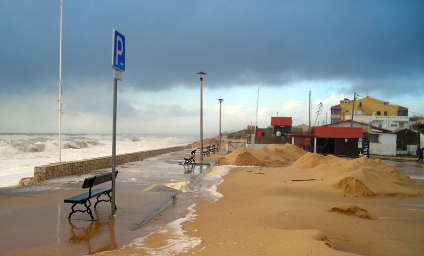
Integrated in the preparatory studies for the Detailed Zoning Plan of Praia de Faro’s beach, this analysis sought to understand and identify the land’s vulnerabilities when exposed to certain agents that pose a threat to land occupation.
Among other aspects, the main constraints imposed on land occupation by coastal dynamics and evolution were studied, such as the instant retreat of the frontal dune, erosion and flooding of areas where ocean overwashes occur, flooding of lagoonal shores and flooding by tsunamis. Various areas and land strips were also presented and integrated because of their vulnerable status due to ocean overwashes, flooding caused by exceptionally high sea levels and the retreat of frontal dunes.
The Detailed Zoning Plan of Praia de Faro’s beach is integrated in Ria Formosa where habitats associated with intertidal zones are very relevant. The Plan also defines the criteria for the dune reconstruction to minimize the risk in the affected area through the reconstruction of the dune system and the programmed removal of constructions subjected to ocean overwashes, which are very common in this area.